Zoomed to the edge: is asphalt really continuing under the green?
b001_s002: 0.9 m at plane level; s032: a thin ~0.2 m lip).
4 are low-vegetation encroachment — the returns beyond the detected edge sit
10–20 cm above the asphalt plane and are vegetation-coloured (a grass berm, veg mats, a
verge flank, a bank toe), so the vegetation is at the edge, not hanging over asphalt.
1 (s089) has no pavement-level returns at all. In short: "green sits in the
notch" holds everywhere, but "the road continues underneath" is the exception, not the rule.
Every caption below survived an adversarial two-judge review (Opus + GPT-5.6, refute-framing);
where they measured me wrong, the corrected numbers are what you read here.Verdicts at a glance
| Location | Last session | Zoomed verdict | Key measurement |
|---|---|---|---|
a1_b001_s002_R_102.00 | veg overhang, under-canopy: yes | Surface continues (strongest case) | returns 0–3 cm off plane out to 0.9 m; ground seen through canopy (blue columns); but 3.5× sparser and 7× greener than reference asphalt |
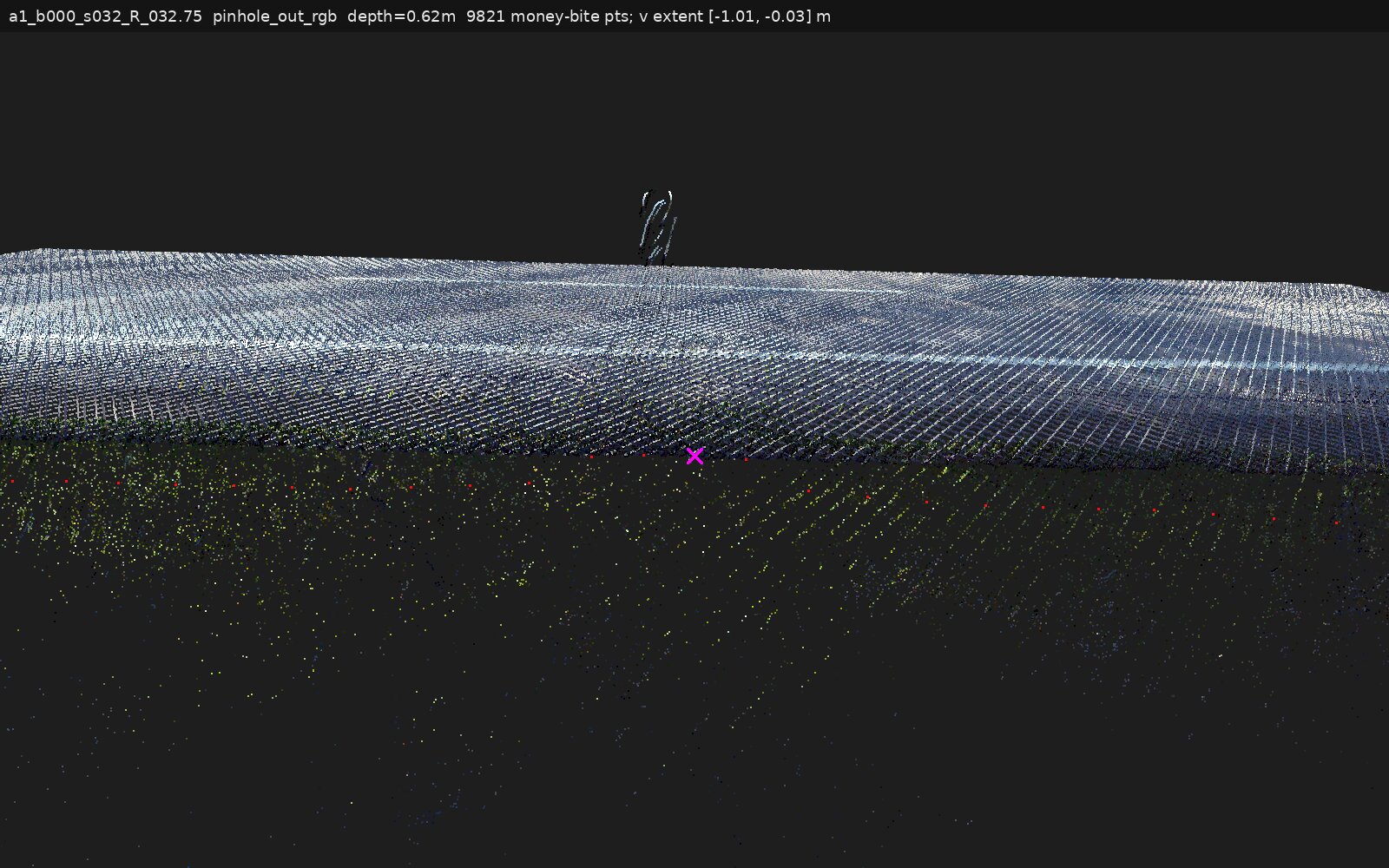
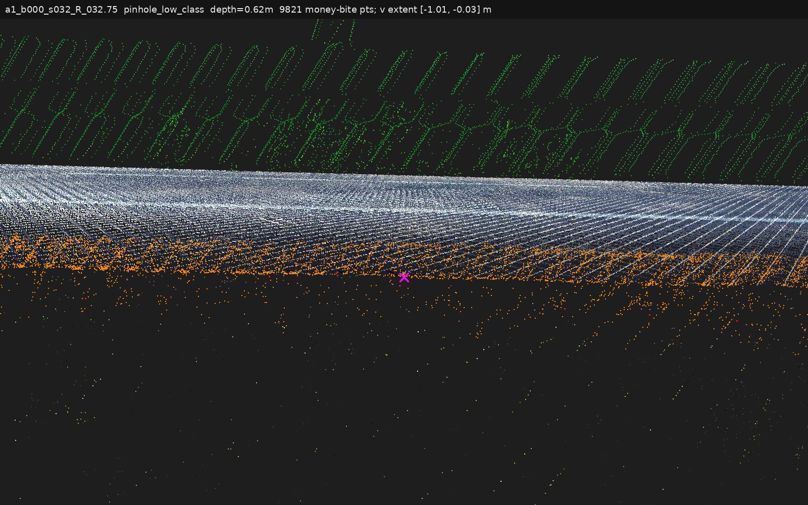
a1_b000_s032_R_032.75 | veg overhang, under-canopy: yes | Thin under-canopy lip | asphalt-level returns only ~0.2 m outboard; beyond that canopy-only/empty to the verge row at −0.85 m |
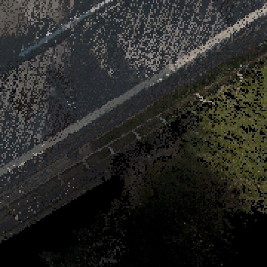
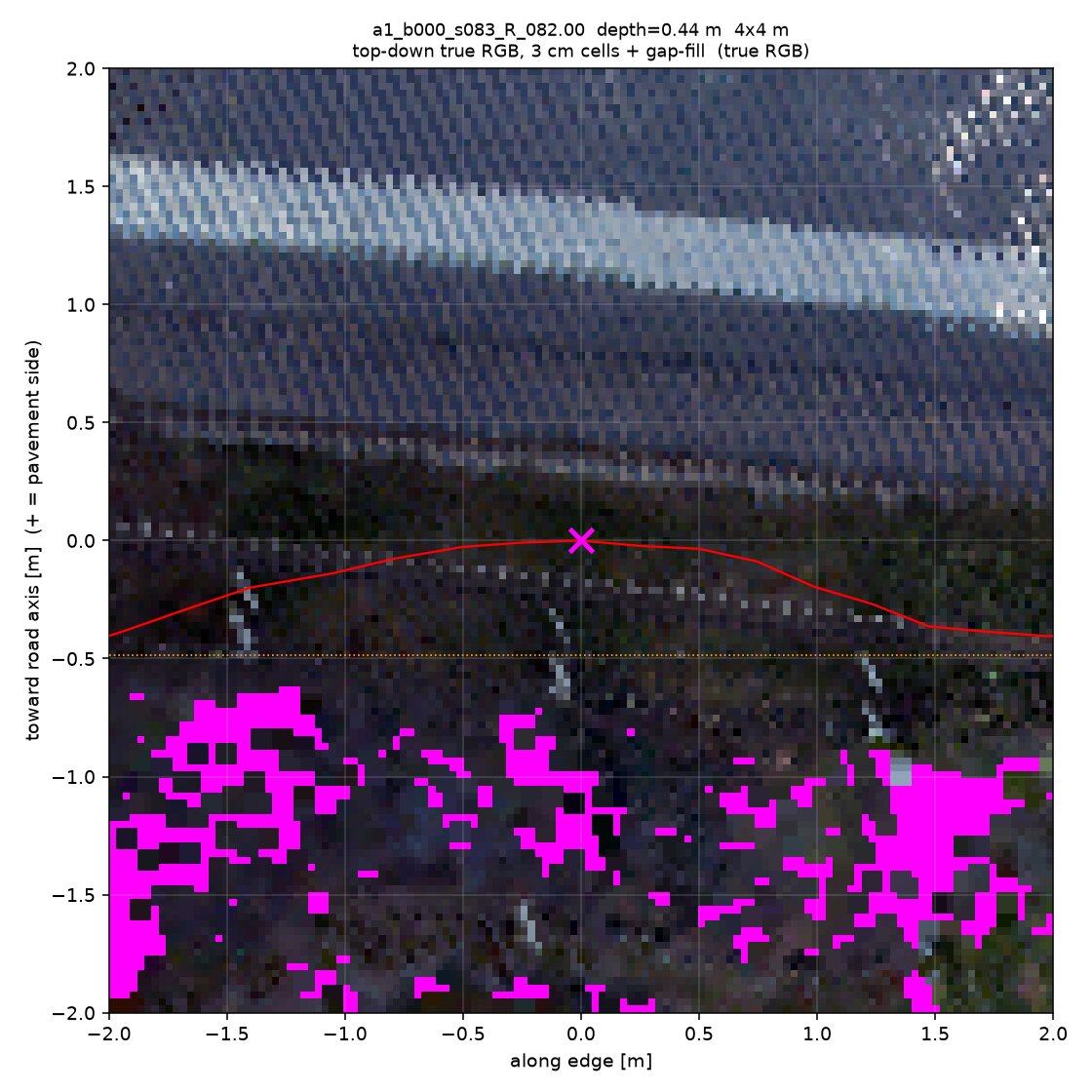
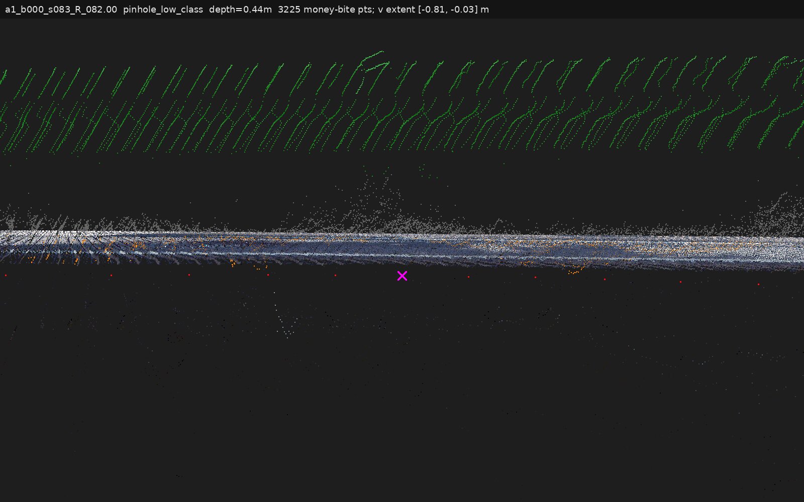
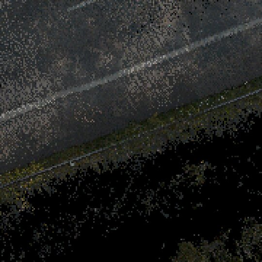
a1_b000_s083_R_082.00 | veg overhang, under-canopy: yes | Encroachment (berm) | ~10 cm shoulder berm at 0.5–0.8 m out; returns 11–21 cm above plane, colour turns grass within 0.15–0.35 m; no occlusion shadow |
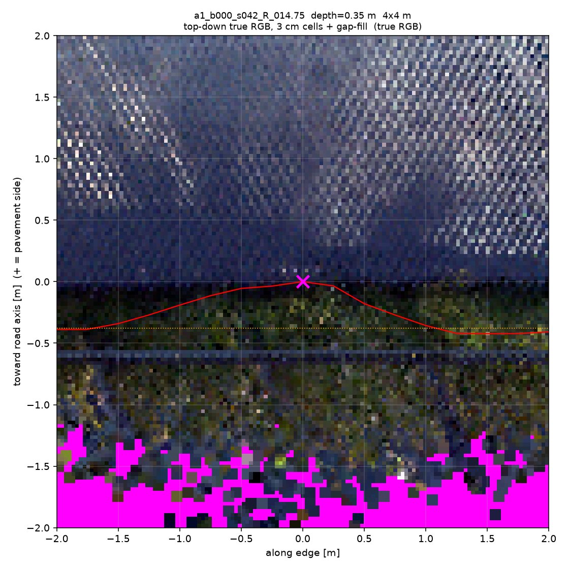
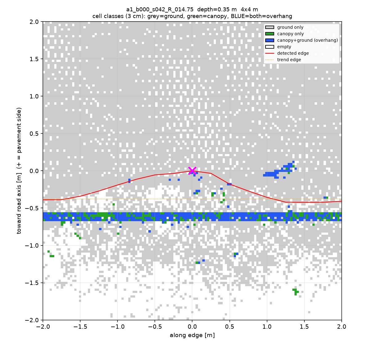
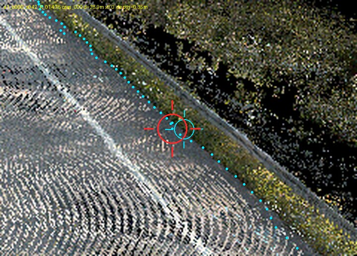
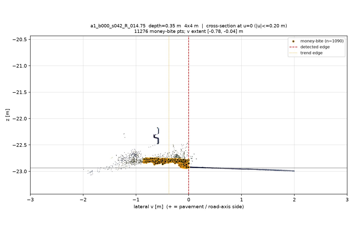
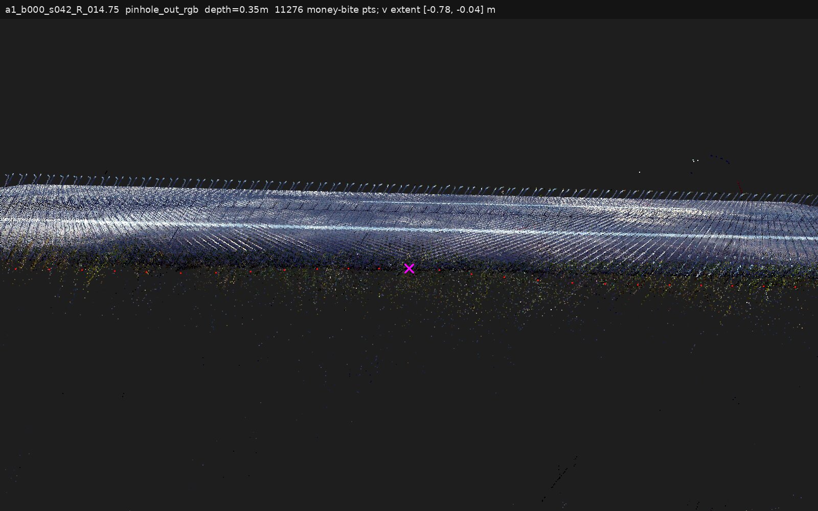
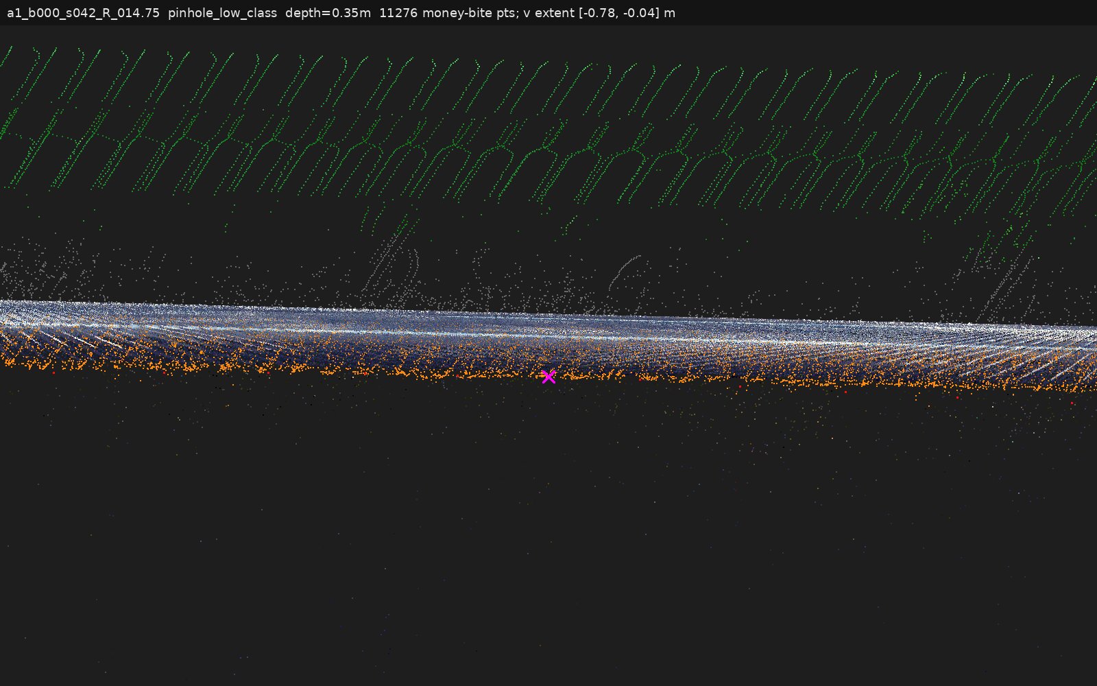
a1_b000_s042_R_014.75 | veg overhang, under-canopy: no | Encroachment (veg mat) | returns to 0.78 m out but 4–18 cm above plane and 30× greener than asphalt; no second layer at plane level beneath |
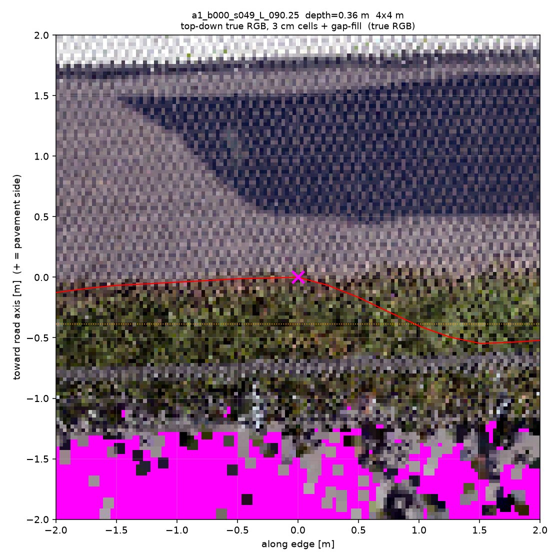
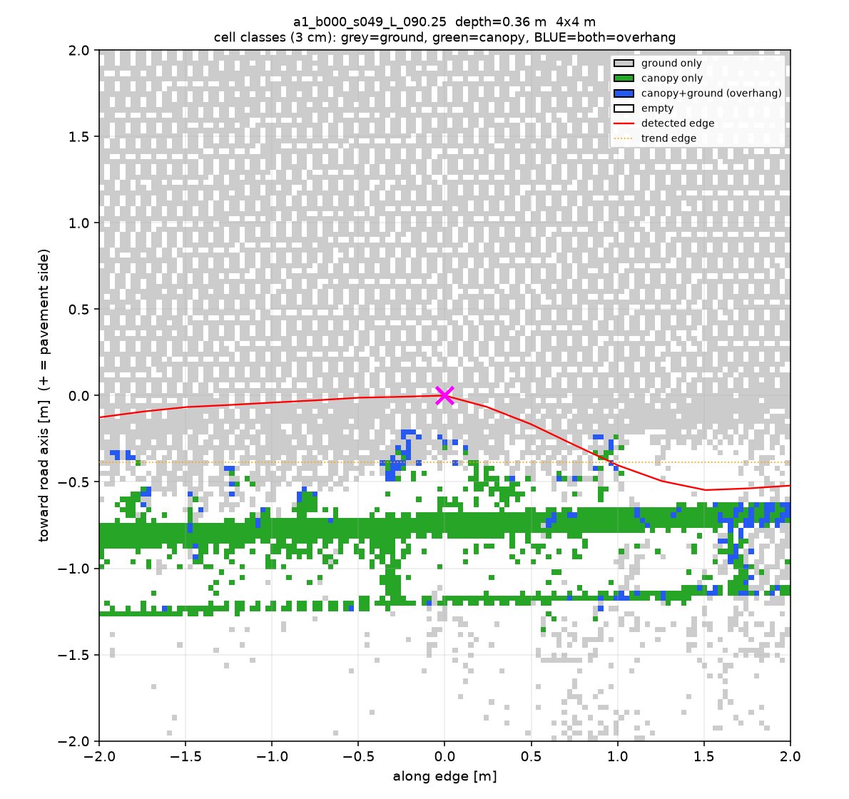
a1_b000_s049_L_090.25 | veg overhang, under-canopy: no_data | Encroachment (verge flank) | returns climb steadily +0.06→+0.12 m over 0.45 m, olive-coloured, sparse — no flat shelf; "post" at −0.75 m is an elevated road-parallel structure of uncertain identity |
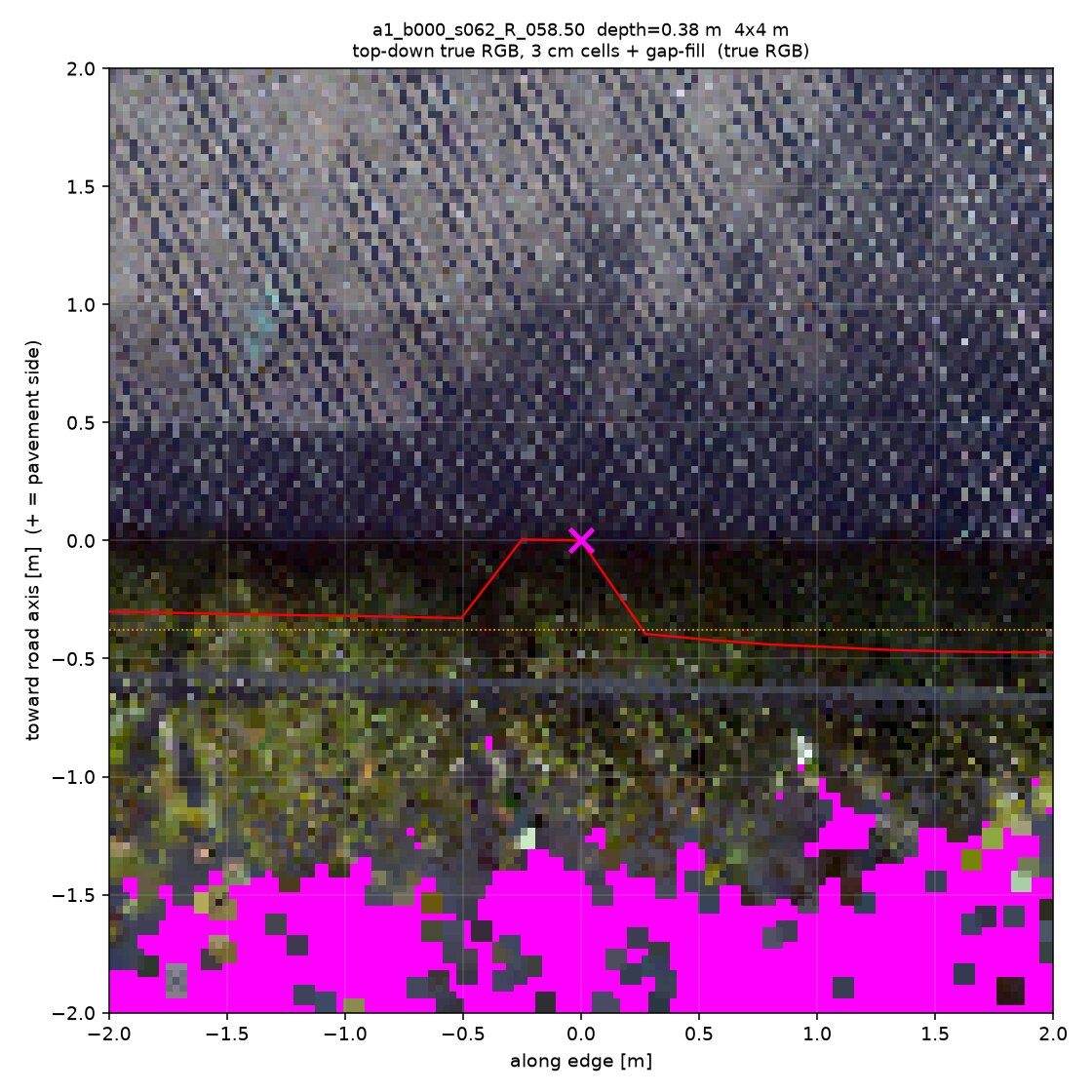
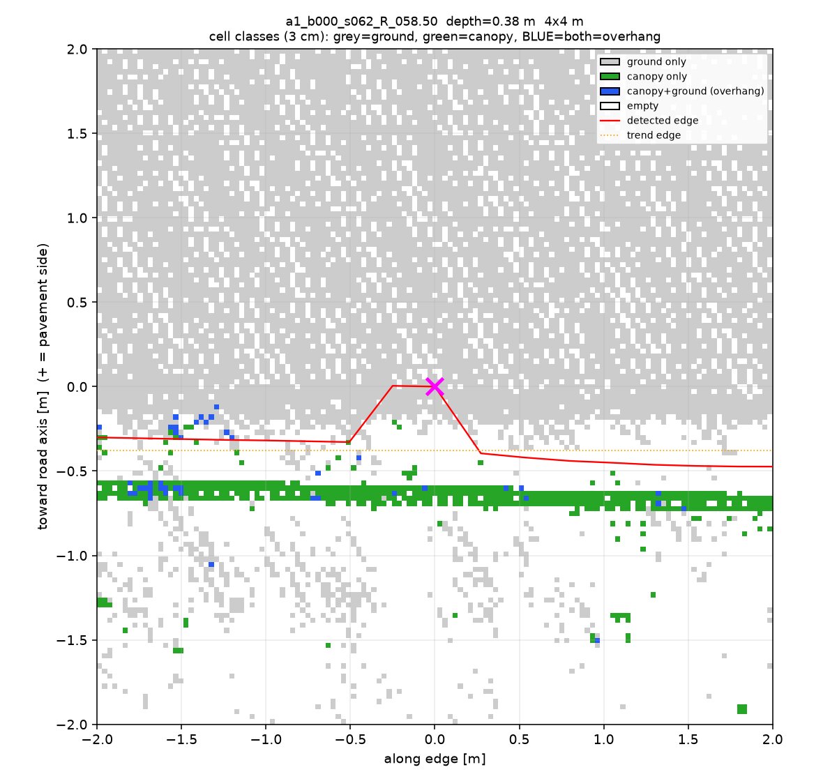
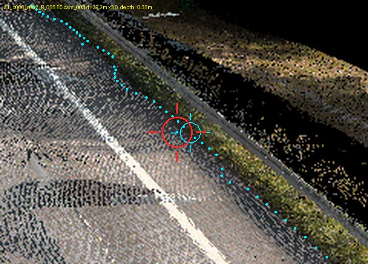
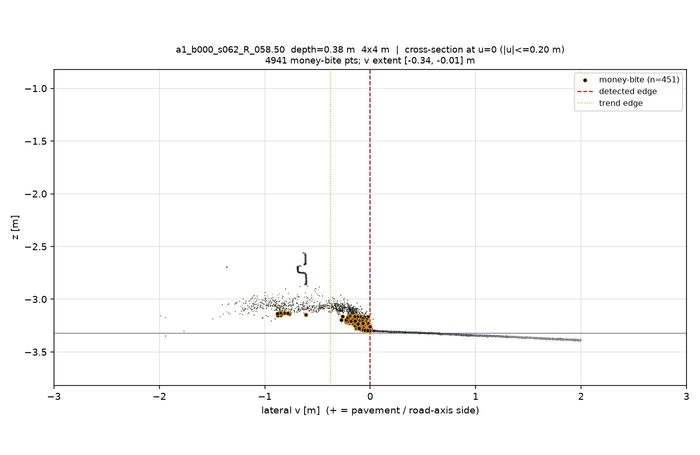
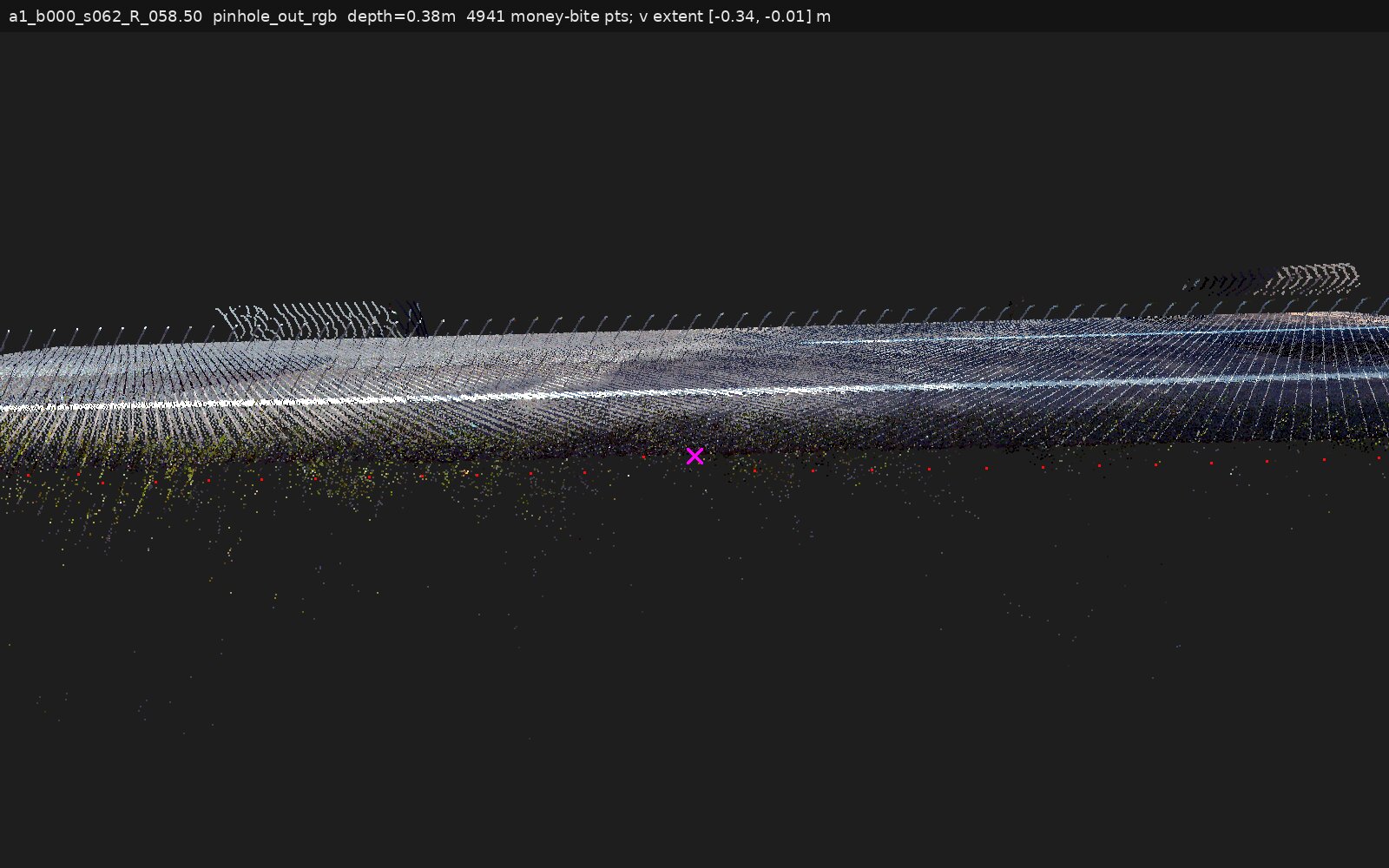
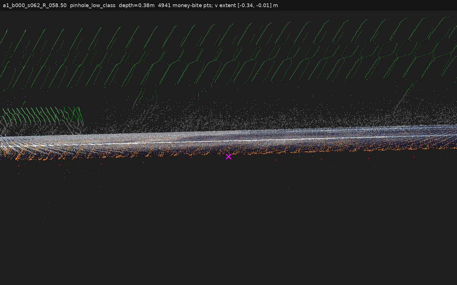
a1_b000_s062_R_058.50 | veg overhang, under-canopy: no_data | Encroachment (bank toe) | ~0.3 m of returns climbing 0→0.15–0.20 m above plane while the pavement falls away; canopy starts 0.6 m outboard |
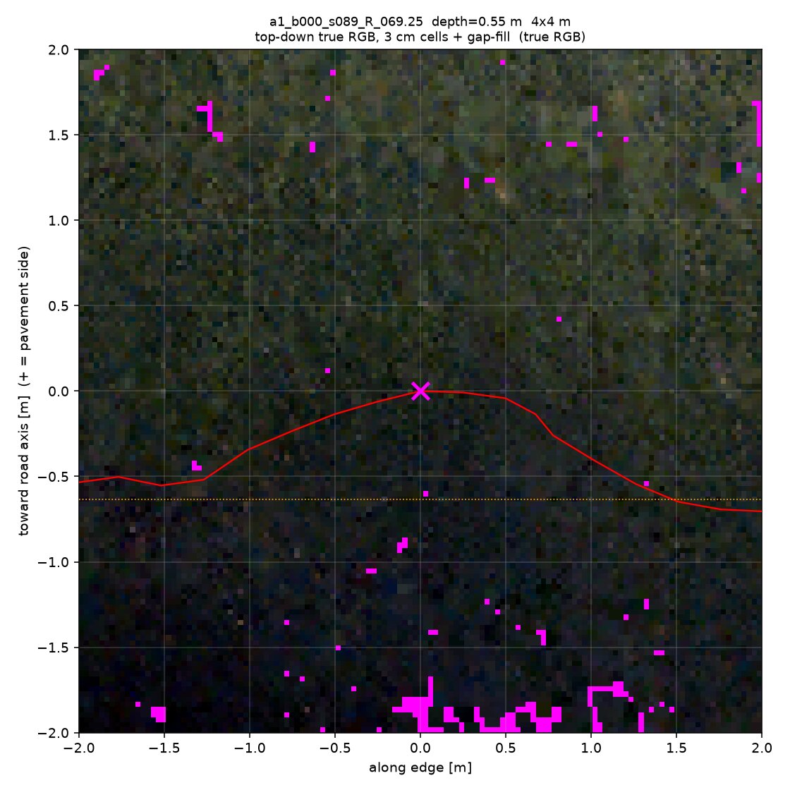
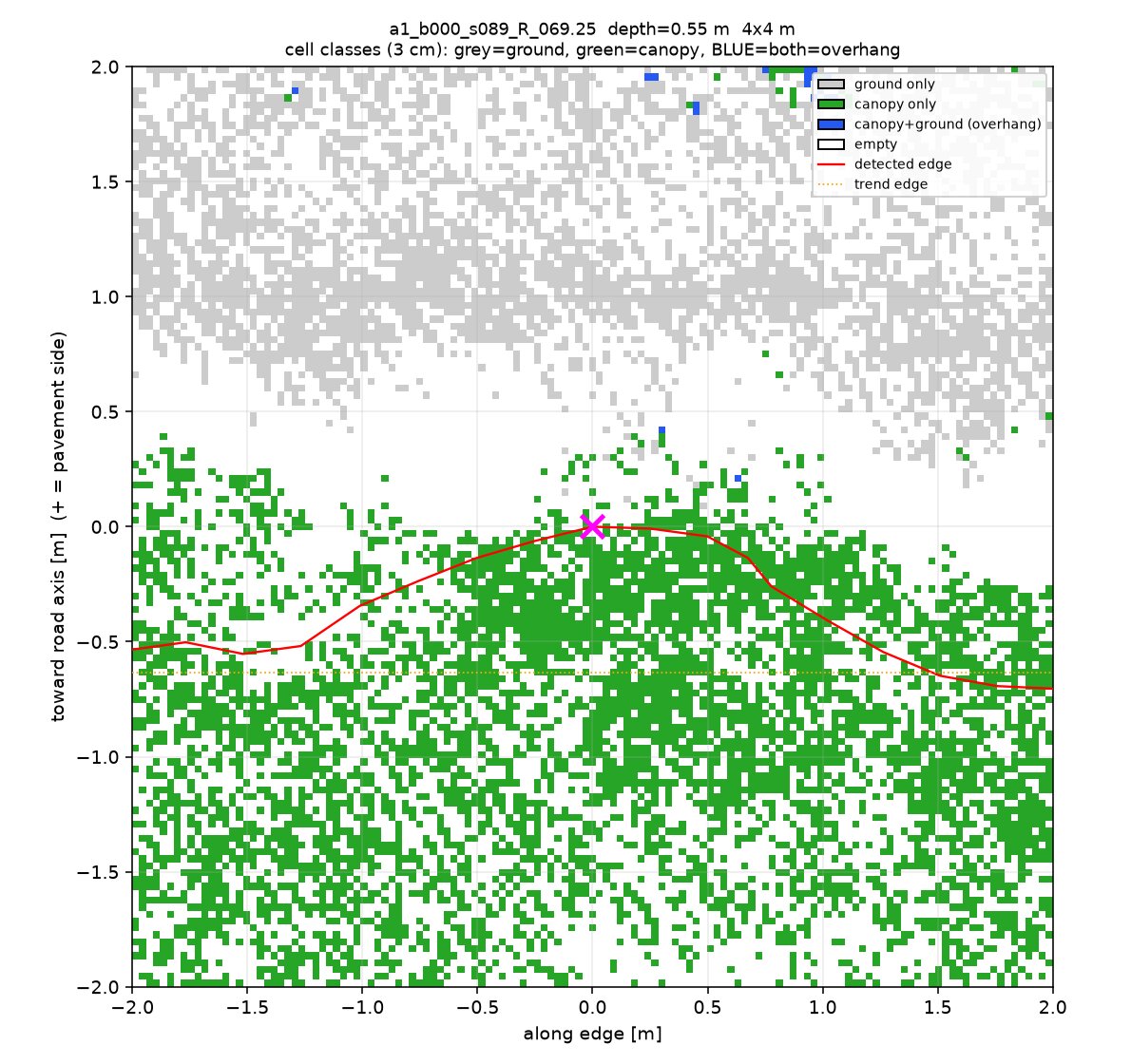
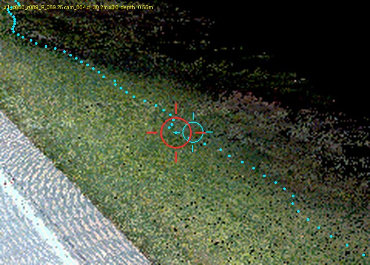
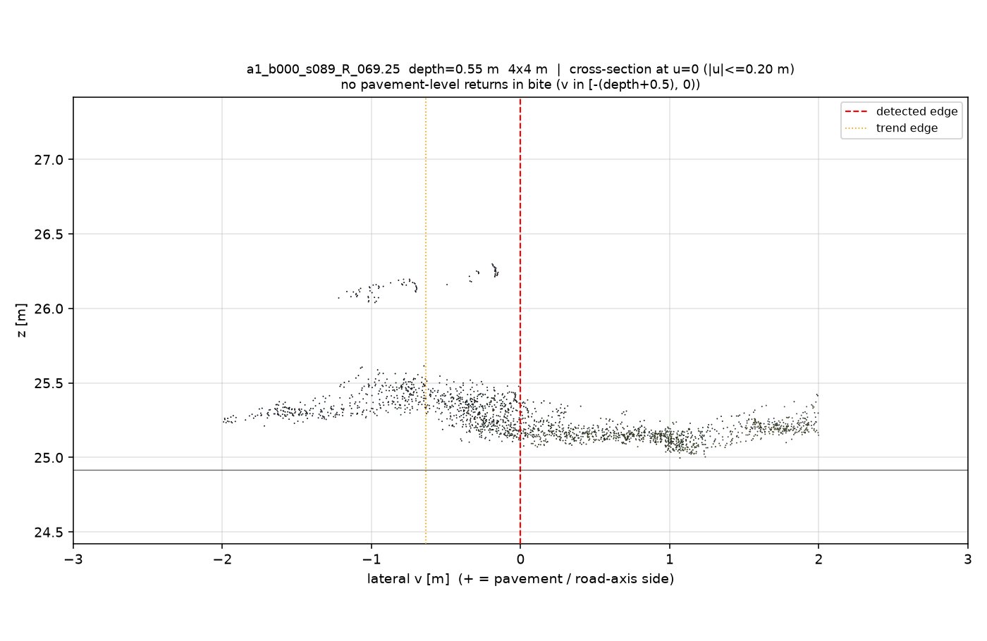
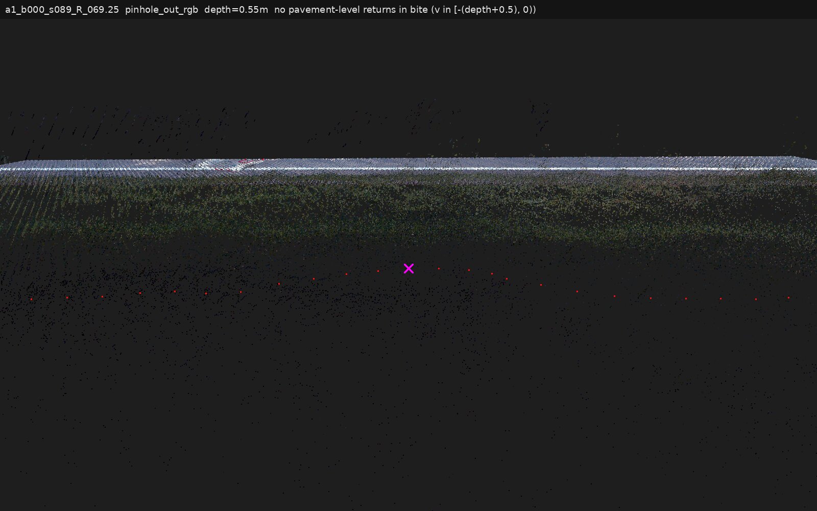
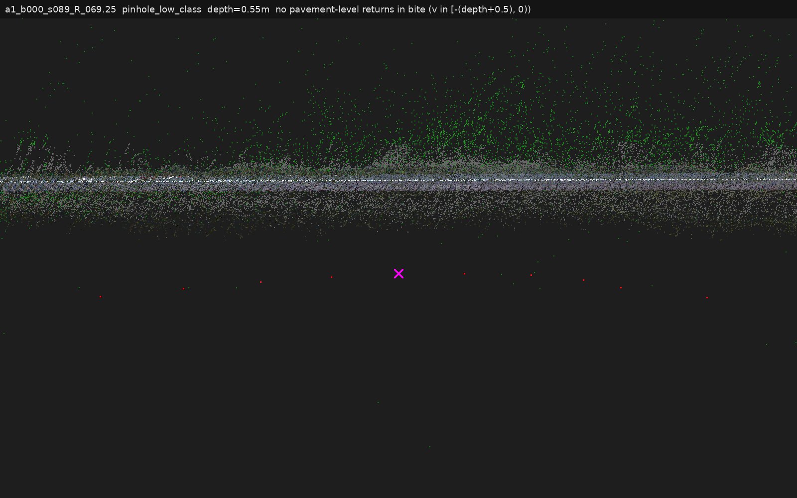
a1_b000_s089_R_069.25 | veg overhang, under-canopy: no | No surface underneath | zero pavement-level returns in the bite; green raised layer 0.25–0.6 m above plane, plus a separate foliage layer ~1.2–1.4 m up over the strip |
Scoreboard vs last session's fleet: 2 confirmed as advertised, 4 re-classified from "canopy over pavement" to "low vegetation encroaching on the edge", 1 confirmed-no with corrections. The distinction matters downstream: encroachment means the physical pavement edge is genuinely buried/overgrown — a maintenance finding — while true overhang means the detector under-reports intact pavement.
How to read the zoom ladder
Each location card walks the same ladder, wide→close. All close-ups are centred on the deepest point of the notch (magenta ×), in an edge-aligned frame: outboard of the detected edge = away from the road.
| Image | What it is | What to look for |
|---|---|---|
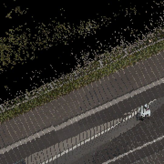
| 12 m top-down | context raster the detector saw | red line = detected edge biting inward |
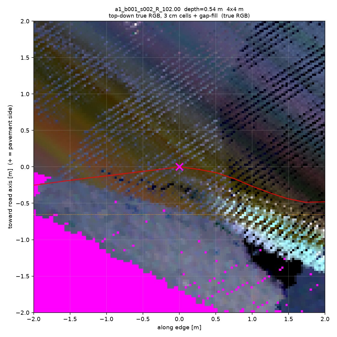
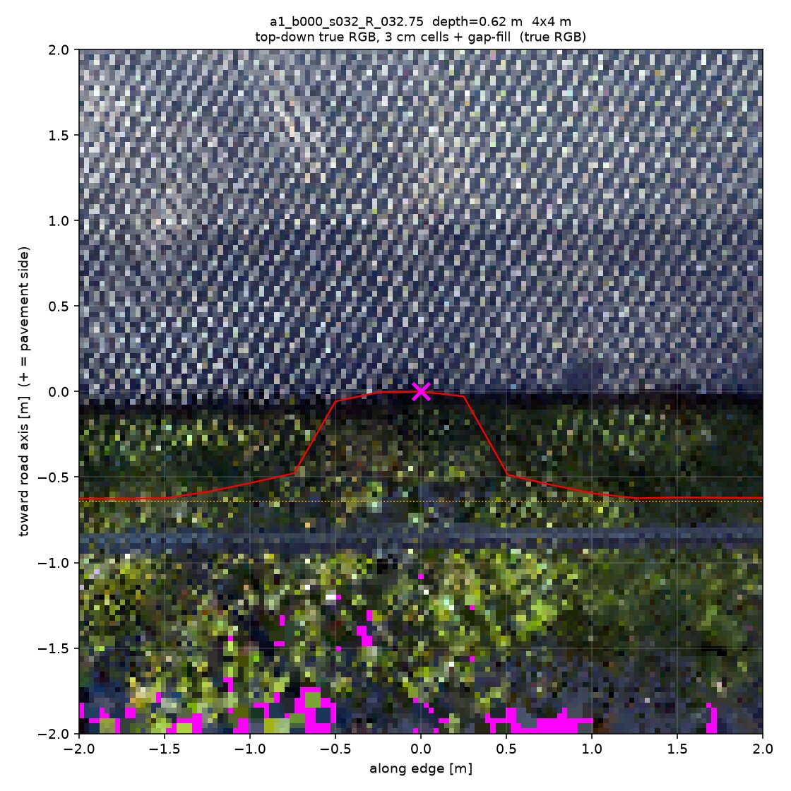
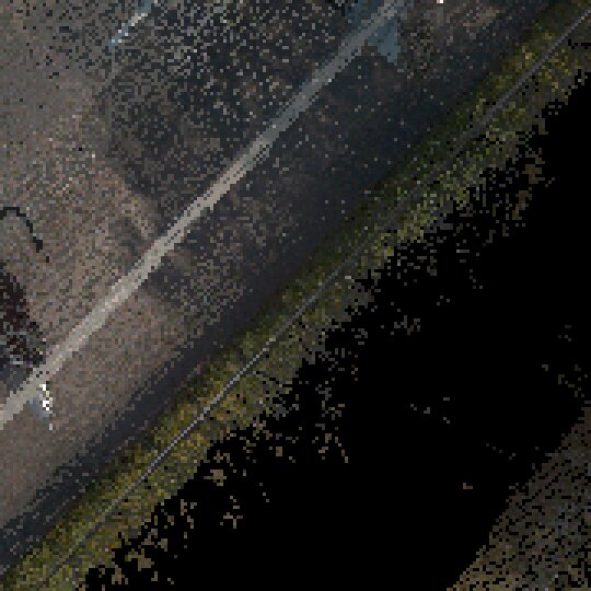
| 4 m top-down RGB | 3 cm cells, gap-filled | the green mass sitting exactly in the bite |
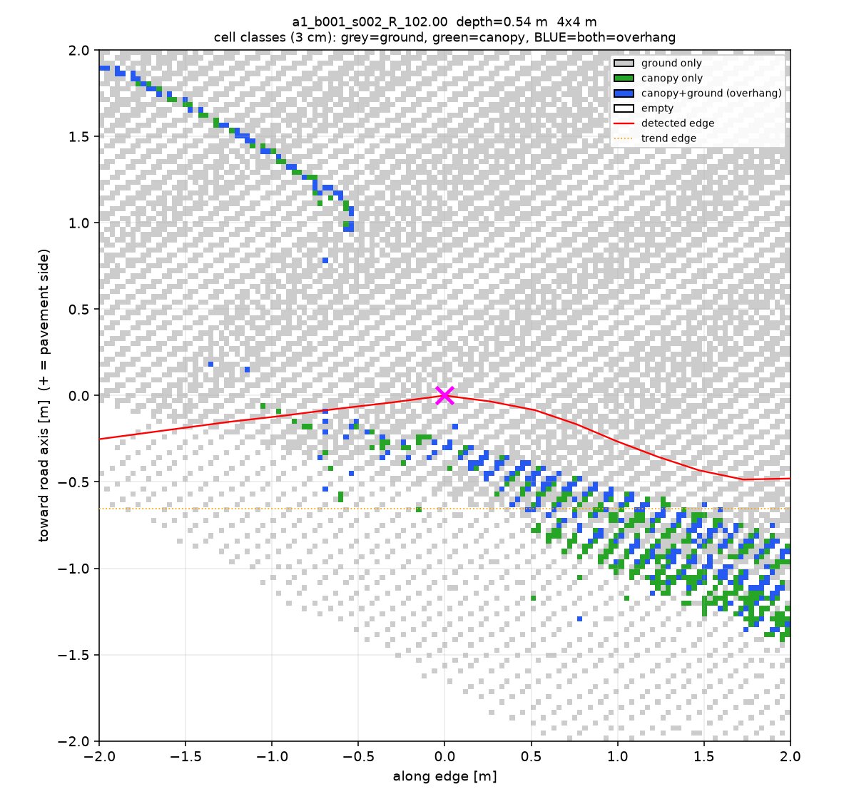
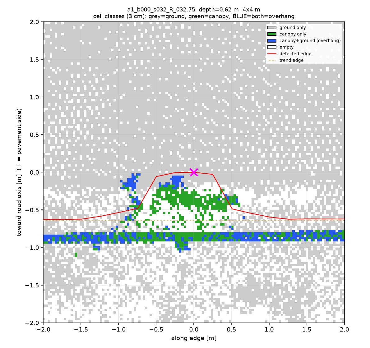
| class map | 3 cm columns classified | BLUE = canopy AND ground in the same column — the direct overhang signature |
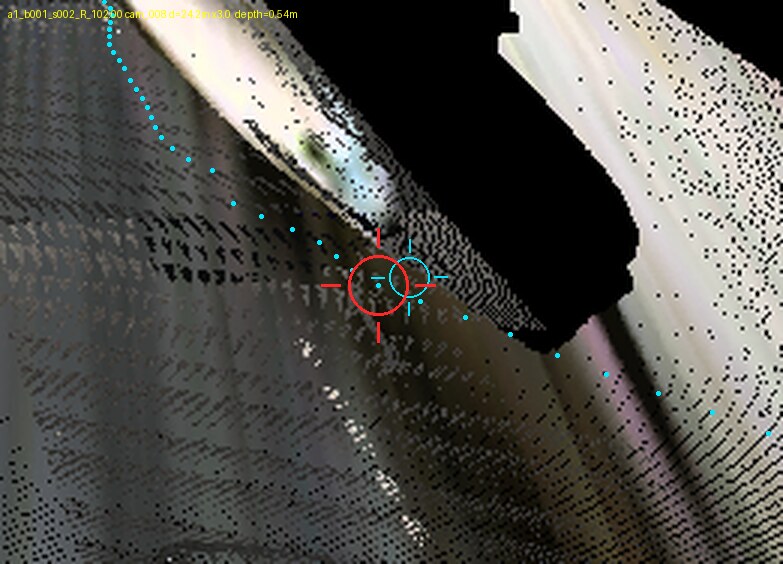
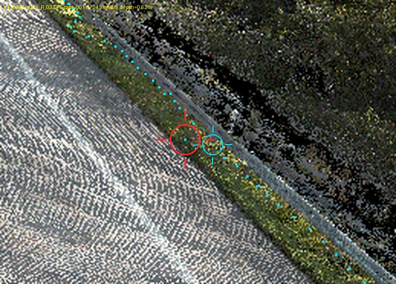
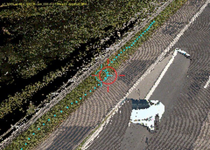
| RGB perspective | pre-rendered camera view | cyan dots = detected edge dodging the vegetation |
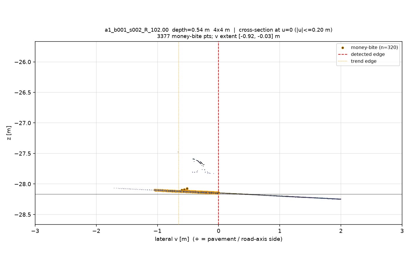
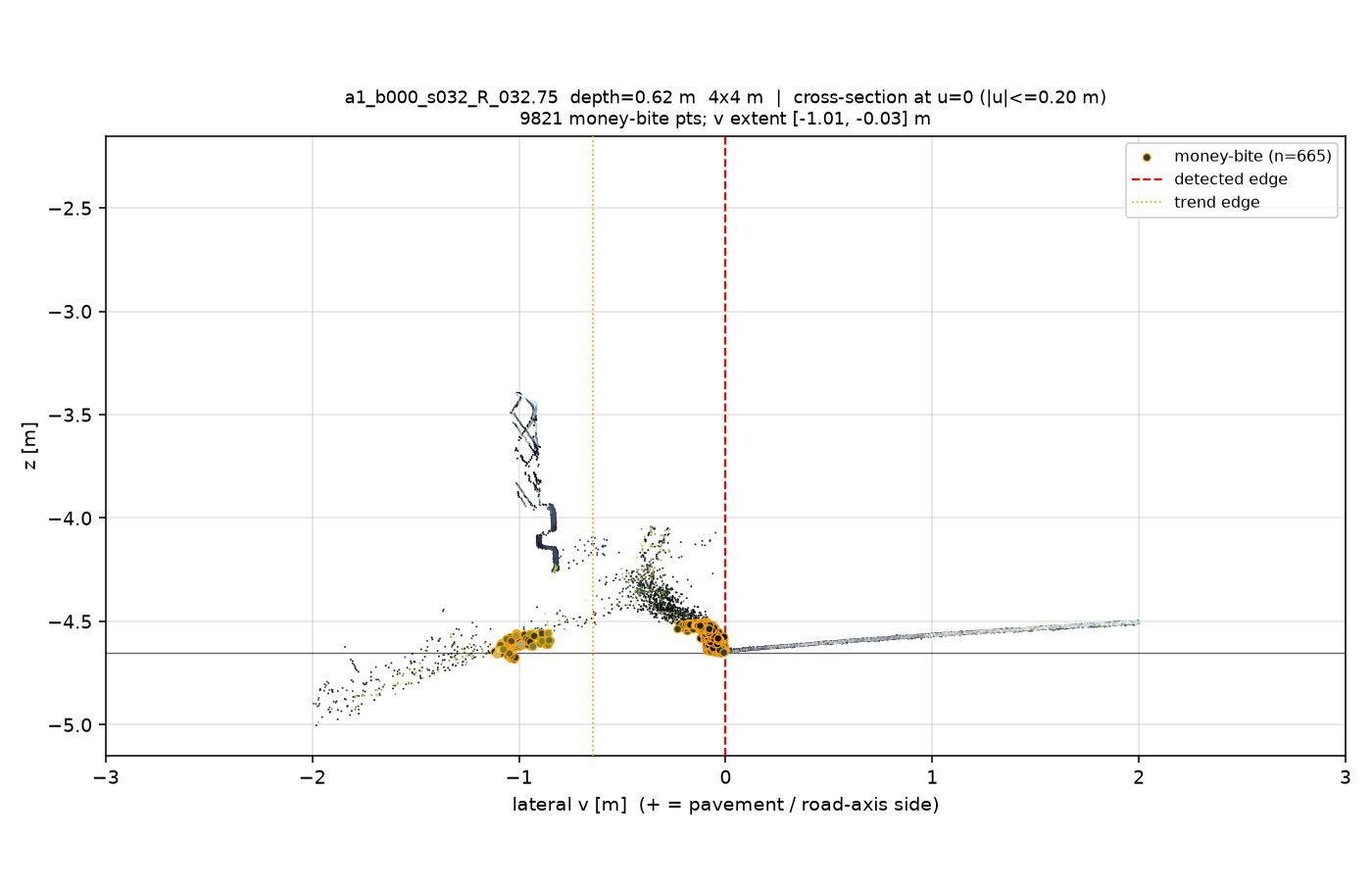
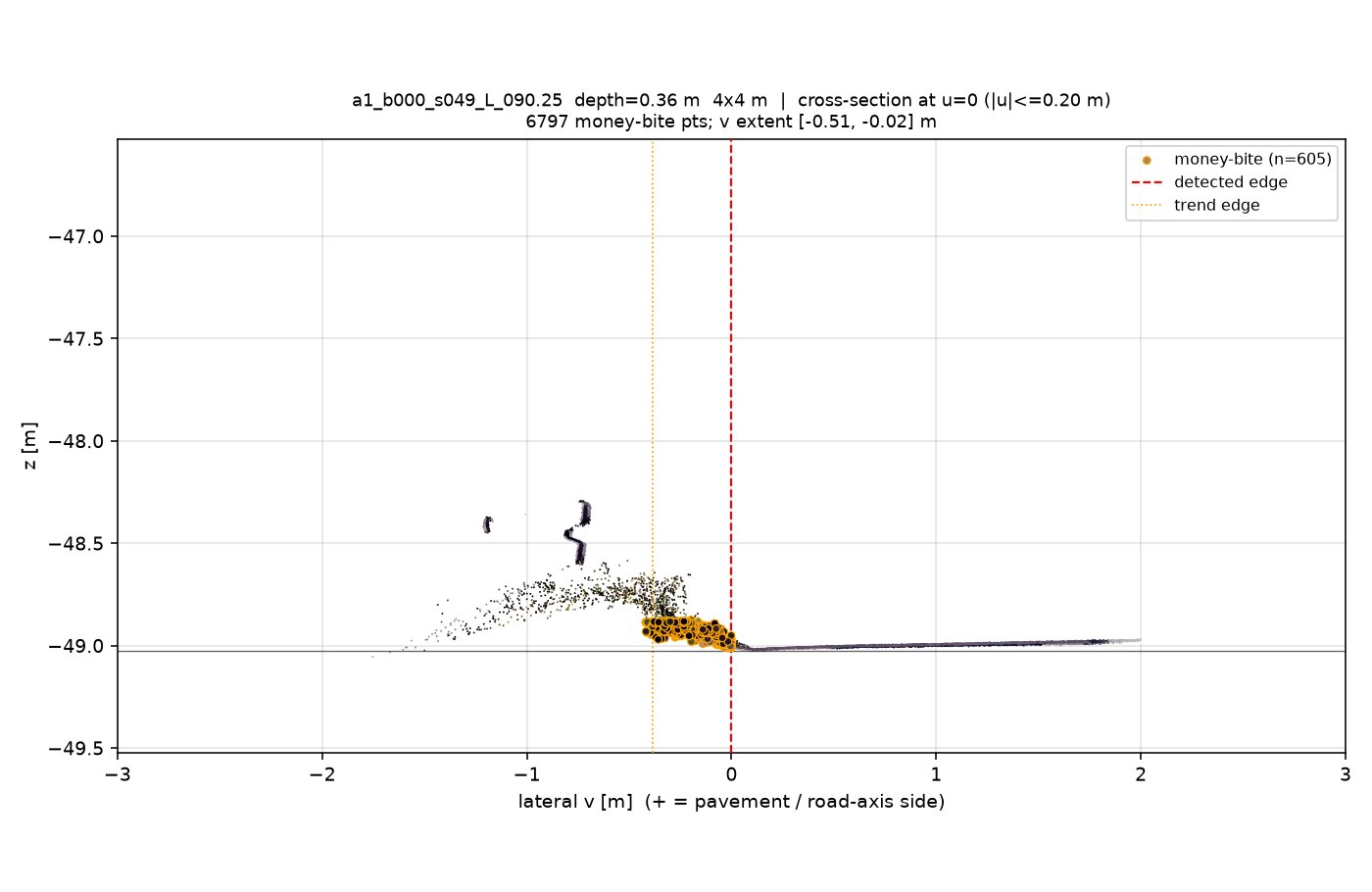
| cross-section | 0.4 m slab, side view | orange-ringed dots = returns at pavement height outboard of the edge; black line = fitted asphalt plane |
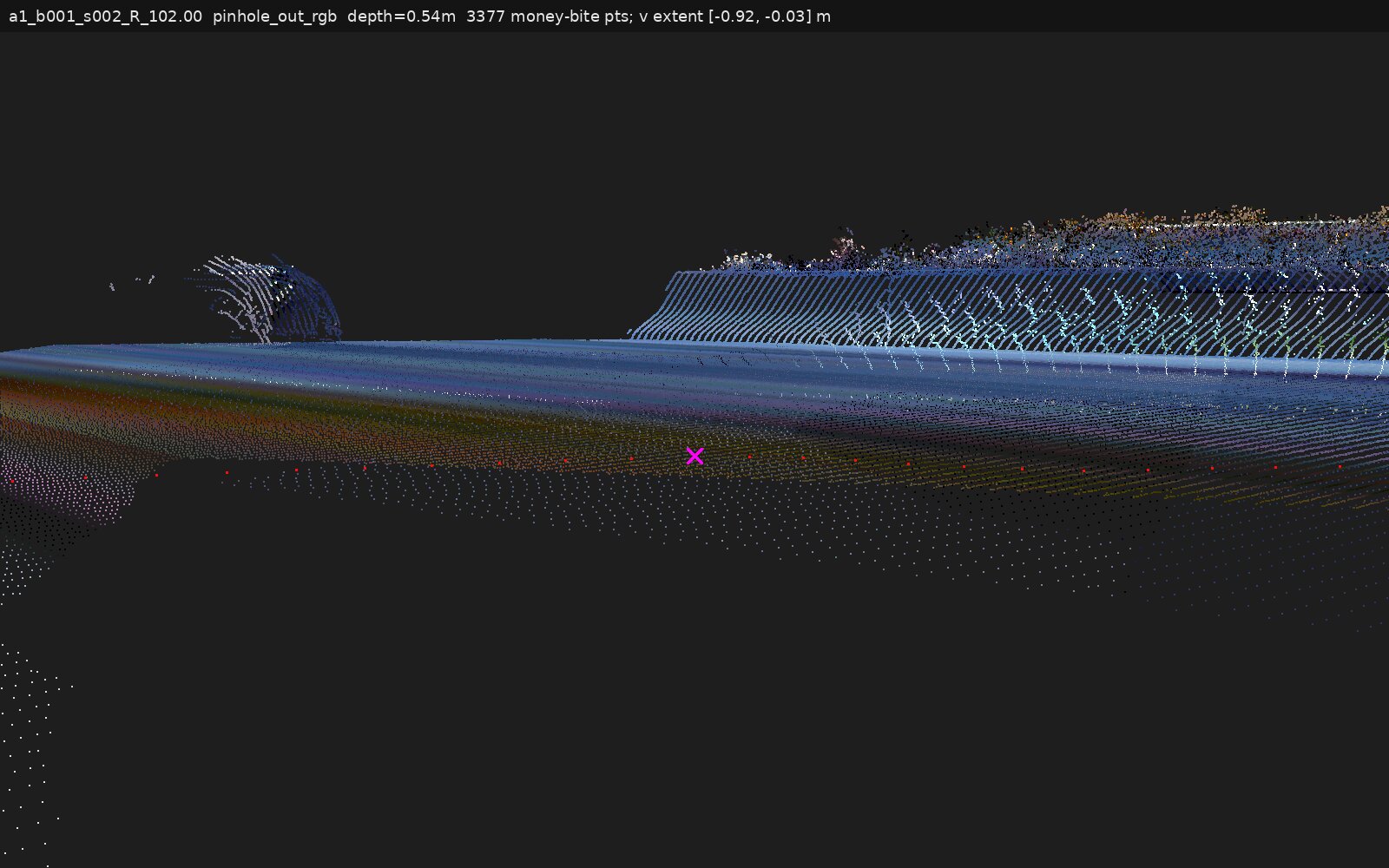
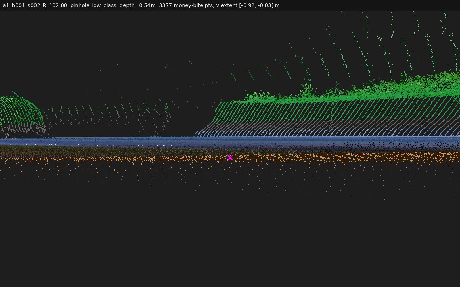
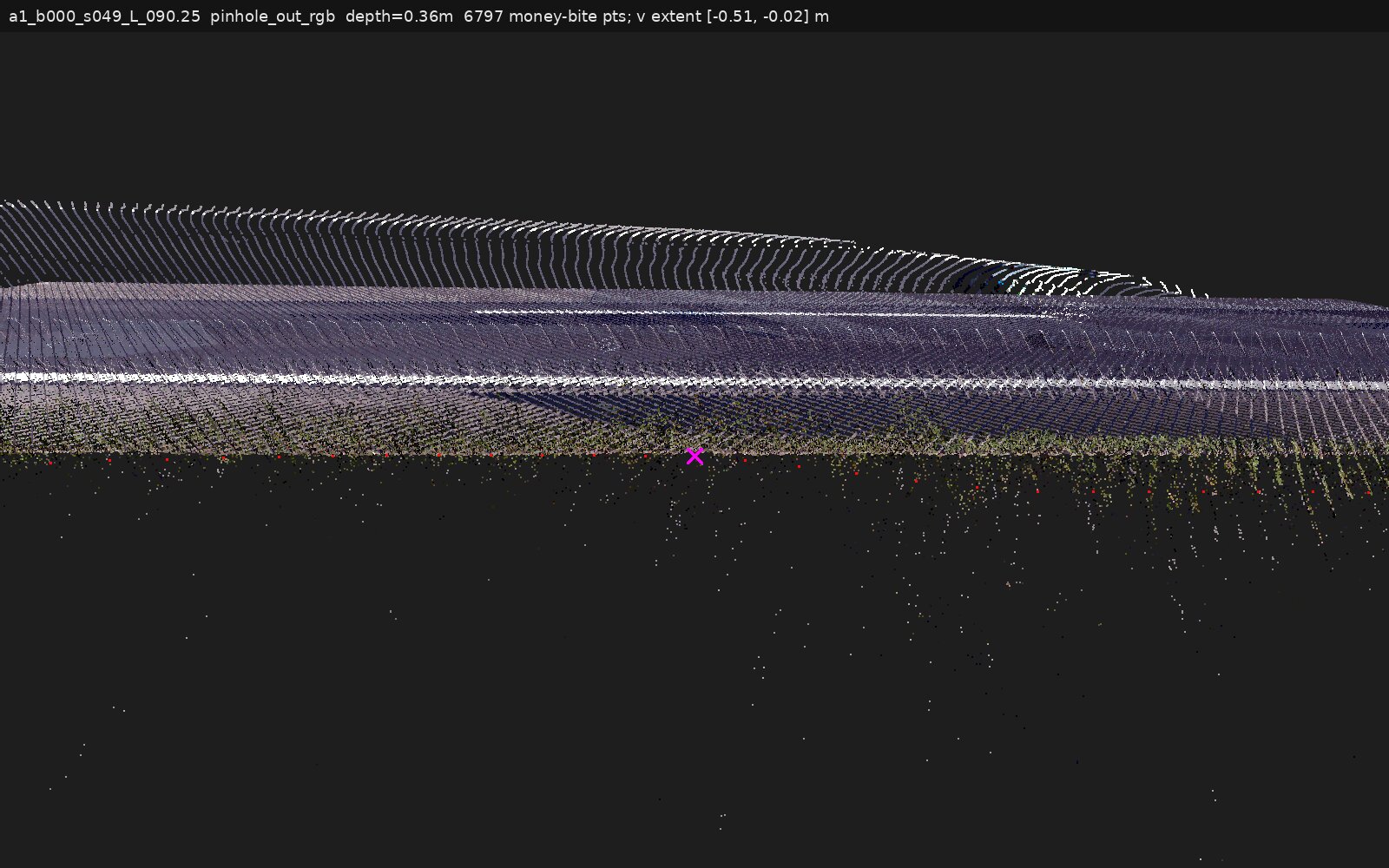
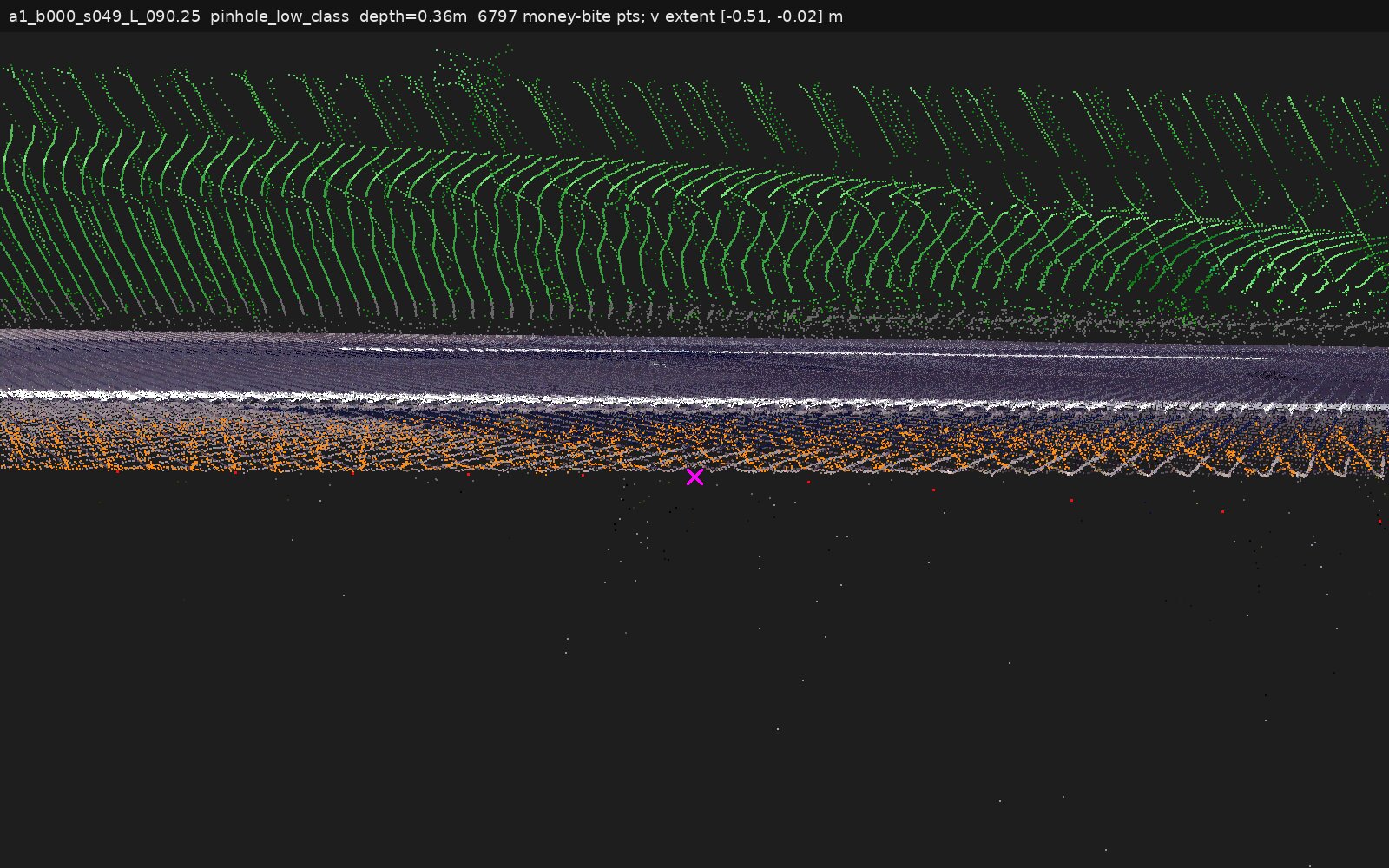
| pinhole photos | synthetic ground-level views of raw points | out = standing outside the road; low = crouched, grazing under the canopy (class-tinted: canopy green, outboard ground orange) |
The 7 locations
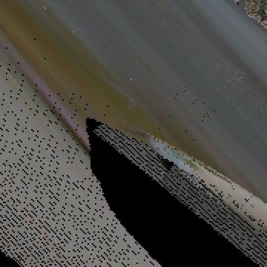
a1_b001_s002_R_102.00The strongest case. Pavement-height returns continue ~0.9 m outboard of the detected edge, within 0–3 cm of the crossfall-extended plane, with a continuous surface line and no step. The scanner sees ground through the canopy (264 blue canopy+ground columns), so nothing is hidden — but the continuing surface is ~3.5× sparser and ~7× greener than reference asphalt with a small low bush (0.25–0.55 m tall) overhead. Reading: the outer road margin here is thin, vegetation-tinted, and partially overgrown; the detector's edge retreated from it.
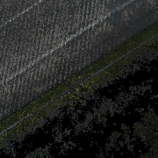
a1_b000_s032_R_032.75The original "money shot", demoted to a lip by measurement. A dense low canopy (bulk 0.1–0.35 m above the plane, top ~0.6 m) fills the notch; asphalt-level returns continue only ~0.2 m outboard of the detected edge — the thin blue strip on the class map — after which the notch interior is canopy-only or empty out to the verge row at −0.85 m (green low growth with a separate grey post/rail-like structure above it, and a delineator post at −0.9 m). Consistent with vegetation occlusion causing the notch, but the pavement-under-canopy evidence is 0.2 m of lip, not a continuing apron.
a1_b000_s083_R_082.00Not a rising grass bank and not clean occlusion. Ground returns run continuous to 2 m outboard with no shadow; they sit 11–21 cm above the fitted plane and step up ~10 cm onto a shoulder berm at 0.5–0.8 m before dropping back. Colour turns brown-olive within the first 0.15 m and strongly grass-like by 0.2–0.35 m. Canopy overhangs the pavement only on the flanking metres — at the notch centre it stops ~0.17 m outboard of the edge. Reading: grass/soil encroachment on a raised shoulder; the notch tracks the vegetated berm, not hidden asphalt.
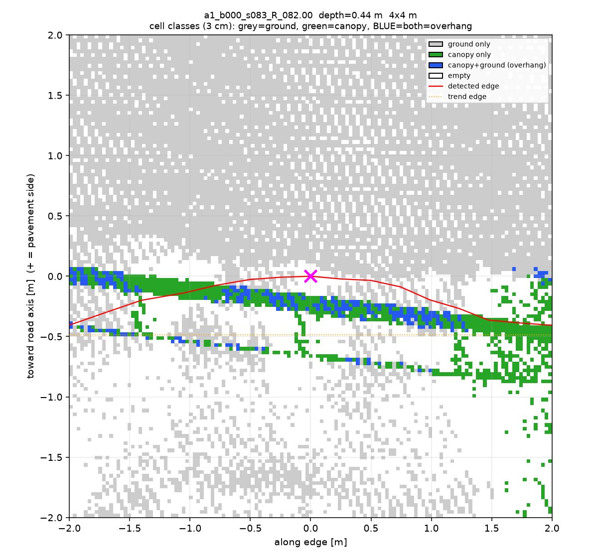
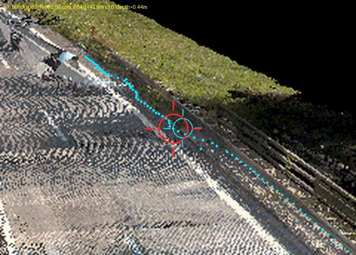
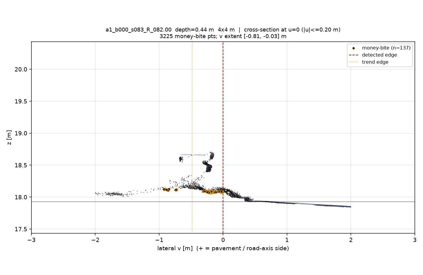
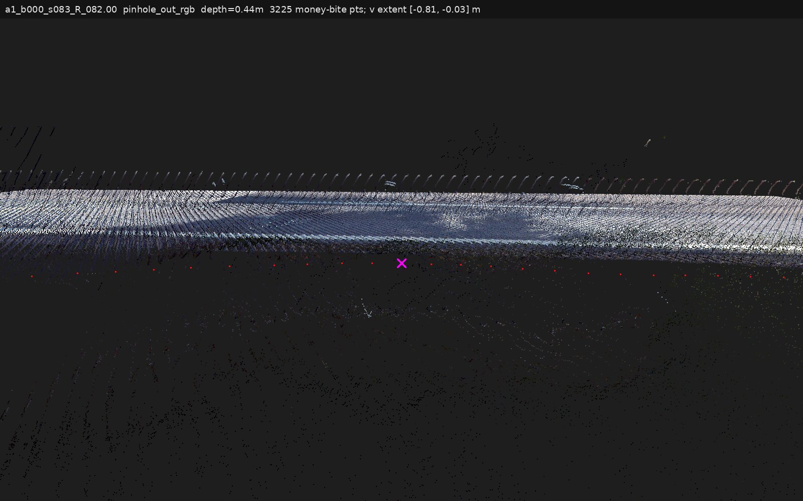
a1_b000_s042_R_014.75Returns continue 0.74–0.78 m outboard but from near-plane up to ~15–18 cm above it, and their colour is unambiguous: excess-green median 0.11 vs 0.004 on reference asphalt (~30×). There is no second return layer at plane level beneath the mat. True canopy-over-ground columns are only 3.4% of the tile, a thin stripe at −0.6 m, entirely outboard of the notch. Reading: a low vegetation mat growing over the edge zone; pavement continuing underneath is not demonstrated — the judges also flagged that the class-tinted views cannot prove what material is under the mat.
a1_b000_s049_L_090.25My initial "pavement continues 0.5 m" was refuted by measurement: the outboard returns climb steadily off the plane (+0.06 m at the edge to +0.12 m at 0.45 m out, ~25% slope, no flat shelf), are warm-olive against the road's cool grey, and are ~3× sparser than reference asphalt. The verge starts rising at the detected edge. The elevated cluster at −0.75 m that I read as a delineator post is a road-parallel linear structure 0.36–0.74 m above plane — possibly a rail or fence line in the hedge; identity uncertain from these views.
a1_b000_s062_R_058.50The judges split here (one upheld my caption, one wanted it stronger); the measured version: ~0.3 m of ground continues outboard, climbing from plane level at the edge to 0.15–0.20 m above it — a bank toe, not a pavement-level mat — while the pavement itself falls away from the edge. No canopy+ground column falls inside the bite; the canopy band starts ~0.6 m outboard. Clean asphalt continuation is not demonstrated.
a1_b000_s089_R_069.25Zero pavement-level returns in the bite. The outboard strip is a green raised band 0.25–0.6 m above the fitted plane (note: the plane fit sits ~0.2 m below the actual pavement here, so read heights against the adjacent road surface), with a separate foliage layer ~1.2–1.4 m up hanging over the strip — so "some overhead foliage" exists, but there is no observed surface beneath any of it. The detected edge floats inside a vegetated area; whether asphalt physically ends here or is fully buried, the notch is not recoverable from the point evidence.
Method & caveats
- Renders: new
scripts/pc_zoom.py(battlebox), centred on each notch's deepest point: 4×4 m top-downs (3 cm cells, gap-filled), class maps, 0.4 m-slab cross-sections with pavement-level outboard returns ("money-bite", ring-marked), and synthetic pinhole views of the raw points from ground level. Two render iterations; the first (matplotlib 3D) failed visual review and was discarded. - Adjudication: I (Fable) read every render; then each caption faced two adversarial judges (Opus 5 vision + GPT-5.6 via codex, both instructed to refute, pixel-calibrated measurements). 12 of 14 judge passes refuted at least part of a caption; all corrections are incorporated above.
- Instrument caveats the judges flagged: the class-tinted pinhole paints outboard-ground points orange, hiding their true colour (use the cross-section fill colours and top-down RGB for material identity); the "money-bite" window includes the verge toe by construction, so its v-extent alone overstates pavement continuation; the fitted asphalt plane can sit below the true local pavement (s089: ~0.2 m low) because it is fitted on per-cell minima across the whole pavement side.
- Sample: these are the 7 of 16
vegetation_overhangverdicts that have real RGB point clouds (A1 both branches, central segments; segs 65–67 excluded as corrupted). The 9 others (A2/A3/A4_5) cannot be zoom-verified — no usable point clouds.
Paths
- Evidence per location:
~/dev/3dai.iolabs.pointcloud.asphaltedge/output/vegnotch/cand_<id>/(fileszoom_*,pinhole_*) - Renderer:
output/vegnotch/scripts/pc_zoom.py, specoutput/vegnotch/ZOOM_SPEC.md; battlebox staging/mnt/d/ai3d-aml/vegnotch/(PLY crops inply/for CloudCompare) - Judge verdicts: workflow
veg-claim-adversarial-verify(14 agents), this session - Previous report: veg-notch-report-20260801